One incident. One question. Answered second by second.
We take one real aviation incident and the question everyone argues about, then answer it from the evidence: flight tracks, real air traffic control recordings, weather radar and official reports. Where the evidence runs out, we say so.
Five questions so far.
 Latest
11:47
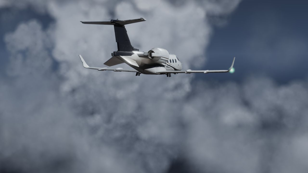
The Florida Learjet Reported Ice at -47°C. How Is That Possible?
The crew reported light clear ice at minus 47 °C, where a cloud shouldn't hold any liquid water. We check that one line on the radio against the Miami weather balloon, the GOES-19 satellite's cloud tops and our own radar slices.
 11:45
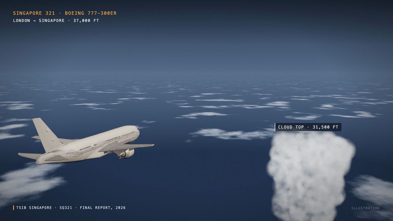
When Is Turbulence Actually Dangerous?
Ten years of NTSB records, and two investigations rebuilt from their flight data.
 10:50
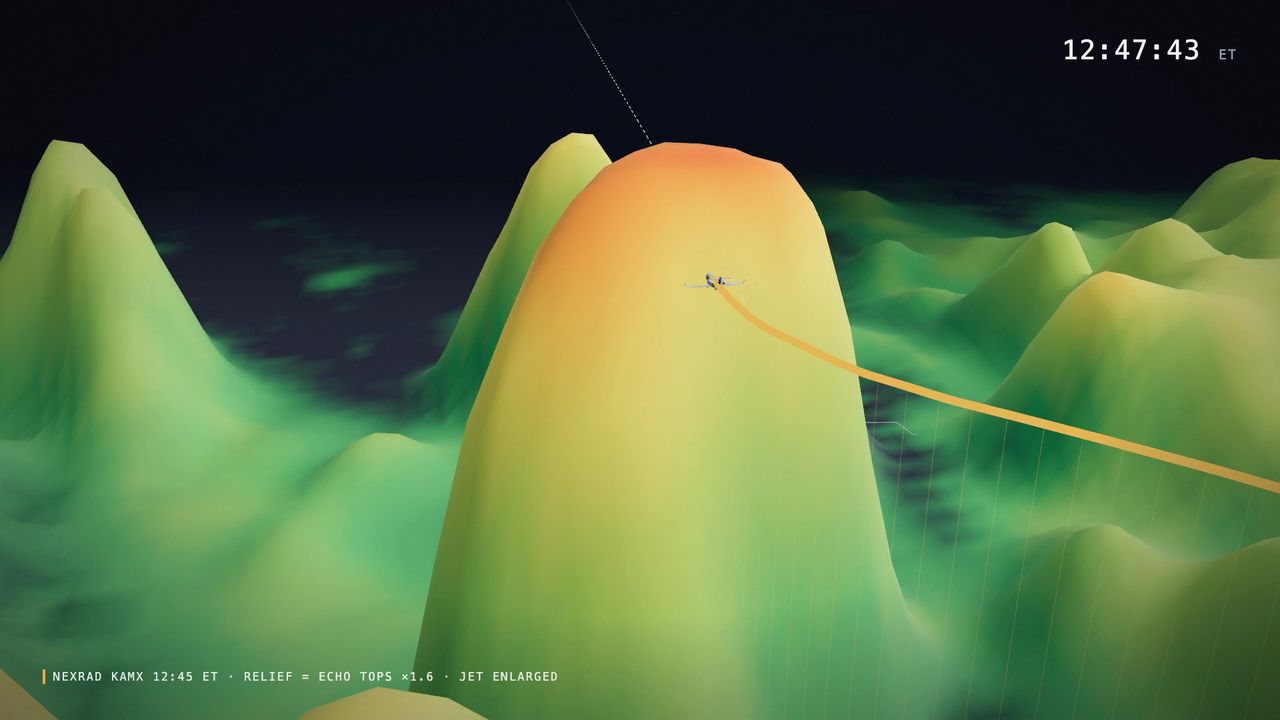
17 Other Jets Were in the Same Sky. Only the Florida Learjet Fell.
We checked every jet that afternoon against the real NEXRAD radar.
 10:19
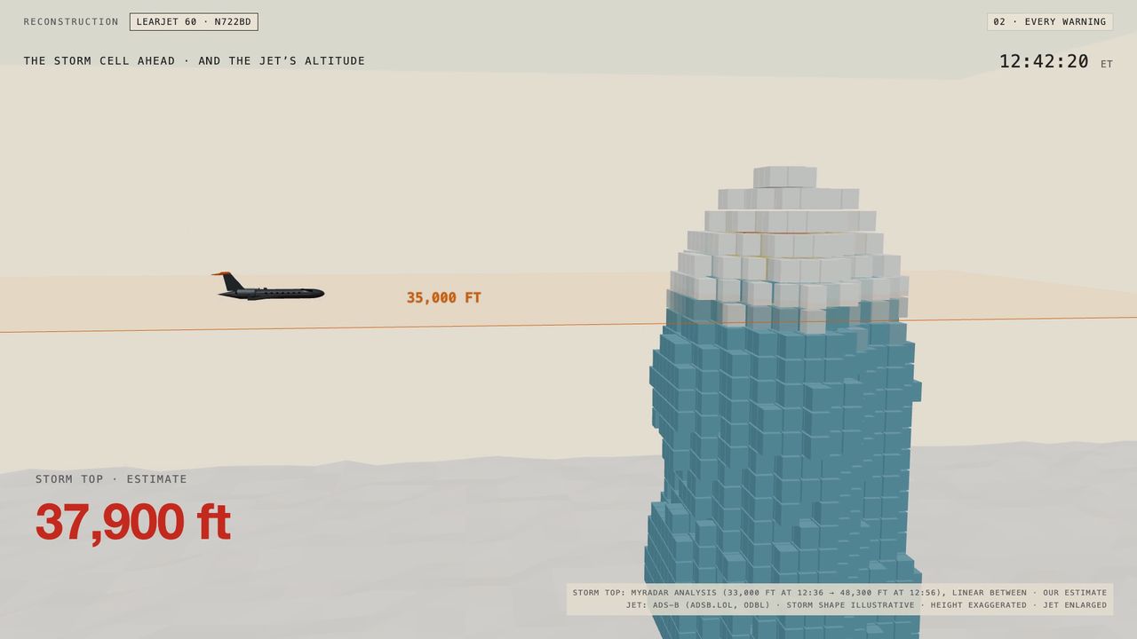
Would 41,000 Feet Have Saved the Florida Learjet?
The data gives a clear answer, and it isn't about altitude.
 20:15
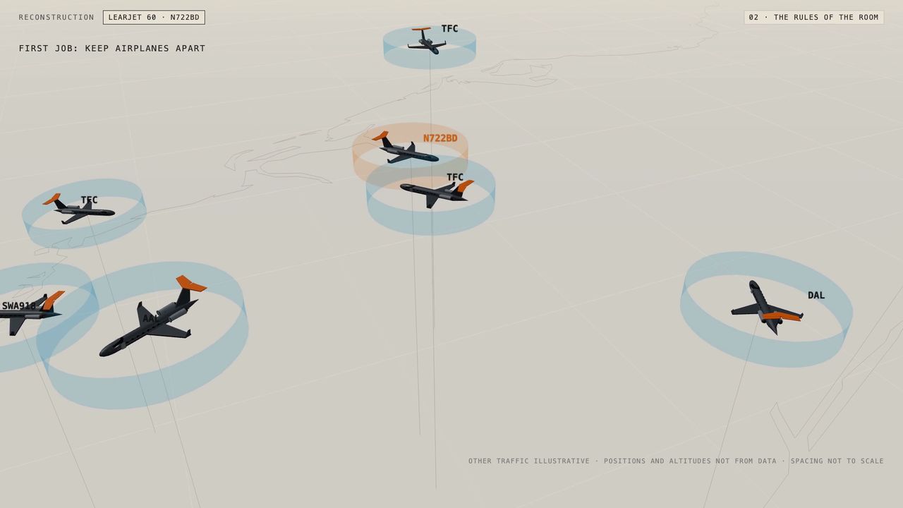
What the Controller Saw as the Florida Learjet Fell
Two screens watched the flight. Neither showed the storm it flew into.
The NTSB preliminary report, checked against our radar.
When the report on N722BD comes out, we lay it over the same radar and tracks. Expected early December.
What our films are.
Made for each film
We research and write every film ourselves. Every 3D scene, map, chart and graphic on screen is built for that film from the data.
Explains how flying works
Each film explains the aviation and weather behind a real event: how controllers see the sky, what weather radar can and can't show, what ice and turbulence do to an aircraft.
Real recordings as evidence
Short excerpts of public air traffic control recordings play inside our analysis, each labelled with its source. The sources for every fact are listed under the film.
Not linked to investigators
We have no connection to the NTSB, the FAA or any airline. Until investigators publish a cause, we don't state one.
Every line carries its source.
When you hear the real radio, you see who said it and where the recording comes from. Anything we calculated ourselves is marked as our estimate. You always know which part is fact.
From raw data to a film.
No studio footage, no actors, no guesses dressed up as facts. Every frame is built from records anyone can check, and the sources are listed under every film.
-
Find the question
We start from what people are actually arguing about, in the news and under our films. One film, one question.
-
Pull the record
The aircraft's position every second from ADS-B, the archived air traffic control frequency, NEXRAD radar volumes, satellite passes, weather balloons, and the official NTSB and FAA record.
-
Sort fact from estimate
We mark what is confirmed, what is reported, and what nobody knows yet. Speeds, angles and storm heights that we work out ourselves are labelled as estimates.
-
Rebuild it second by second
The airspace, the weather and every aircraft in it, rebuilt in 3D and run in time with the real recording, so you can see what each person could see at each moment.
What we will and won't do.
- RULE 01Where the evidence is incomplete, we say so.An honest “we don't know yet” beats a confident guess.
- RULE 02When we get something wrong, we correct it on screen.Film 02 opens with a chapter called “What We Got Wrong”.
- RULE 03We don't guess who was flying, and we don't look for someone to blame.Causes are for investigators. We show what the data shows.
- RULE 04We never show the moment of impact.The reconstruction stops before it.
- RULE 05When lives were lost, the film ends by remembering them.Their names, without photos.
Aviation first. The sea next.
Aviation
Air incidents, storms and the airspace around them. Aircraft broadcast their position every second, so a flight can be rebuilt exactly.
The sea
Ships report where they are through AIS, the way aircraft do through ADS-B. Same data, same method, a new kind of incident.

See the next one, second by second.
One film whenever the data has something new to say. Free on YouTube.